Bike Plan Review

Share Bike Plan Review on Facebook Share Bike Plan Review on Twitter Share Bike Plan Review on Linkedin Email Bike Plan Review link

Consultation has concluded
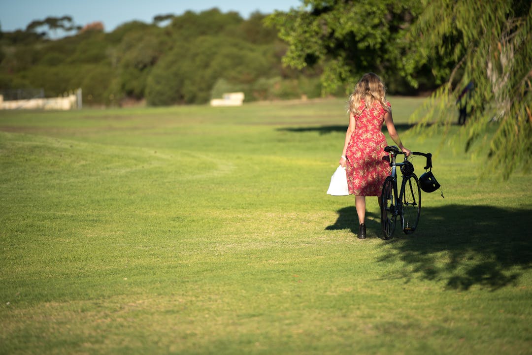
In 2018 we asked you to share your experiences riding in and around Fremantle to inform the Bike Plan Review. We also wanted to hear from people not riding regularly, to understand why.


What we heard

  • 109 surveys were completed and 38 people placed 215 pins on the 'map my ride' tool identifying where riding was good, bad and improvement ideas.
  • 139 areas were identified for improvement with the 5 top ‘hot spots': North Fremantle/ Tydeman and river crossing; South Terrace/ Marine Terrace; South Terrace/ Wray Avenue; Hampton Road/ Cockburn Road; and city centre eastern area.
  • People like the off road separated paths, the low speed city centre, Hollis Park connection and various low speed attractive and connected local roads.
  • The top 3 trip purposes for regular riders are leisure and recreation, commuting to work or running errands.
  • The top three barriers to riding for non-regular riders are lack of bike lanes and paths, unsafe road conditions and speed and traffic volume on roads.


How this informed the draft Bike Plan

We can’t implement all 139 areas for improvement in the next five years, however the input has been incorporated into the draft Bike Plan in three main ways:

  1. Nine ‘projects in the pipeline’ which are under consideration, subject to budget and approvals, and include route and cycling infrastructure improvements (see page 9).
  2. Staged planning and design process proposed for new and improving existing bike routes, incorporating the Department of Transport’s ‘route hierarchy’ of: Primary (off road paths/ routes); Secondary (protected on road lanes); and Local (low speed, low vehicle volume streets). Each route has an explanation for its timing (see page 10 to 17). Working with the Department of Transport with these hierarchies will help with future grant funding.
  3. Similar to the previous Bike Plan, the draft also includes programs and promotion activities to encourage riding, such as partnership with the Department of Transport’s Your Move Program and community events (see page 18).


Read the draft Bike Plan by clicking here or visiting the document library, please tell us your thoughts below by Monday 1 July 2019. You can also attend a presentation on the draft Bike Plan as part our One Planet Living Presentation on 13 June, for information and to RSVP click here.


Consultation has concluded
  • Bike Plan 2019-24 Adopted by Council

    Share Bike Plan 2019-24 Adopted by Council on Facebook Share Bike Plan 2019-24 Adopted by Council on Twitter Share Bike Plan 2019-24 Adopted by Council on Linkedin Email Bike Plan 2019-24 Adopted by Council link

    At the Ordinary Council Meeting on 28 August 2019 the Bike Plan 2019-24 was adopted. You can access the Council minutes directly by clicking here or visiting: www.fremantle.wa.gov.au/council/agendas-and-minutes/

    You can find the Bike Plan 2019-24 on the City of Fremantle website under strategic and key documents, click here or visit: www.fremantle.wa.gov.au/council/strategic-and-key-documents

  • Bike Plan 2019-24 to Committee and Council

    Share Bike Plan 2019-24 to Committee and Council on Facebook Share Bike Plan 2019-24 to Committee and Council on Twitter Share Bike Plan 2019-24 to Committee and Council on Linkedin Email Bike Plan 2019-24 to Committee and Council link

    The revised Bike Plan will now go to Committee and Council for recommended adoption. Details of the meetings are provided below:

    Strategic Planning and Transport Committee - Wednesday 21 August 2019

    Ordinary Council Meeting - Wednesday 28 August 2019

    Both meetings commence at 6.00pm at North Fremantle Community Hall, 2 Thompson Rd North Fremantle.

    Meeting agendas and further details can be accessed on the City of Fremantle agendas and minutes page by clicking here or visiting: www.fremantle.wa.gov.au/council/agendas-and-minutes

    Members of the public are welcome to ask a question, make a statement or just observe the proceedings. If you would like to speak at either meeting, please contact the minute secretary on 1300 693 736 or email planning@fremantle.wa.gov.au

  • Feedback on Draft Compiled

    Share Feedback on Draft Compiled on Facebook Share Feedback on Draft Compiled on Twitter Share Feedback on Draft Compiled on Linkedin Email Feedback on Draft Compiled link

    Feedback on the draft plan

    Feedback on the draft Bike Plan (phase two engagement) has been compiled. There were 26 submissions and additional suggestions were made by the Bicycle Reference Group. Key feedback included:

    • Over half had a high level of support or specifically made positive comments about the proposed hierarchy.
    • Suggestions were made around specific locations such as Hampton Rd, Knutsford, Stevens St, Tydeman Rd. Another key comment was on connectivity out of Fremantle.
    • An overall level of support for the programs and promotion.
    • Other general positive comments on the community engagement and support for the Council reviewing and providing new bicycle infrastructure.

    Changes

    Based on the engagement in phase two some updates and improvements were be made to the Bike Plan. These include:
    • Document changes - Inclusion of cordon count intersection information (areas of riding increase and where it has decreased). Slight wording improvements for clarity, mapping improvements, clarification on route descriptions.
    • Route updates - New local route in North Fremantle reflecting the logical, most convenient existing route to the town centre and Fremantle Traffic Bridge connection. Marine Terrace and Douro Road as secondary routes, complementing the coastal off road path routes and connection to Hampton Road and South Fremantle shopping centre. Extension of the Wray Avenue activity area across Hampton Road to identify the mixed use/commercial land uses between Hampton Road and South Street.
    • Other updates - Including Carrington Street protected route feasibility study within the 5 year time frame. Recognition of emerging riding trends such as ebikes and the need to design/provide infrastructure accordingly (e.g. bike parking and refuge island widths).
  • Engagement Compiled

    Share Engagement Compiled on Facebook Share Engagement Compiled on Twitter Share Engagement Compiled on Linkedin Email Engagement Compiled link

    Thanks to everyone who contributed to the Bike Plan Review, the engagement report is now compiled. There were 109 surveys completed, 215 pins dropped (areas that are good for bikes, need improvement or ideas), mapping and visioning at the Bicycle User Group workshop, the Ride to Work breakfast, emails received and input via the Age Friendly City planning.

    According to survey roughly 53% of regular rides are within 5km of the Fremantle city centre and mainly in the City of Fremantle boundary, 31% are between 5 to 10km from the Fremantle city centre. For those not riding but interested, Fremantle suburbs are the main starting point with top destinations Fremantle city centre, Murdoch, Cockburn Central & North Fremantle train stations and Leighton & South Beach.

    Mapping is now being undertaken with the draft Plan expected to be ready for feedback early 2019.