Bike Plan Review
Share Bike Plan Review on Facebook
Share Bike Plan Review on X (formerly Twitter)
Share Bike Plan Review on Linkedin
Email Bike Plan Review link
Consultation has concluded
In 2018 we asked you to share your experiences riding in and around Fremantle to inform the Bike Plan Review. We also wanted to hear from people not riding regularly, to understand why.
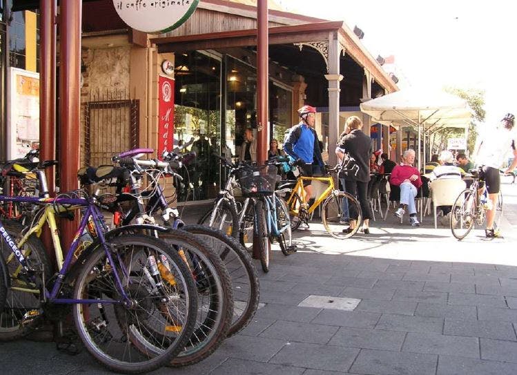
What we heard
- 109 surveys were completed and 38 people placed 215 pins on the 'map my ride' tool identifying where riding was good, bad and improvement ideas.
- 139 areas were identified for improvement with the 5 top ‘hot spots': North Fremantle/ Tydeman and river crossing; South Terrace/ Marine Terrace; South Terrace/ Wray Avenue; Hampton Road/ Cockburn Road; and city centre eastern area.
- People like the off road separated paths, the low speed city centre, Hollis Park connection and various low speed attractive and connected local roads.
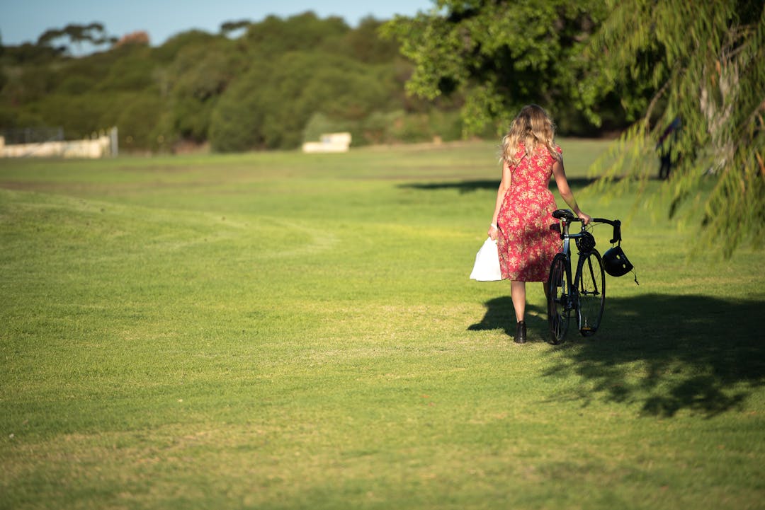
- The top 3 trip purposes for regular riders are leisure and recreation, commuting to work or running errands.
- The top three barriers to riding for non-regular riders are lack of bike lanes and paths, unsafe road conditions and speed and traffic volume on roads.
How this informed the draft Bike Plan
We can’t implement all 139 areas for improvement in the next five years, however the input has been incorporated into the draft Bike Plan in three main ways:
- Nine ‘projects in the pipeline’ which are under consideration, subject to budget and approvals, and include route and cycling infrastructure improvements (see page 9).
- Staged planning and design process proposed for new and improving existing bike routes, incorporating the Department of Transport’s ‘route hierarchy’ of: Primary (off road paths/ routes); Secondary (protected on road lanes); and Local (low speed, low vehicle volume streets). Each route has an explanation for its timing (see page 10 to 17). Working with the Department of Transport with these hierarchies will help with future grant funding.
- Similar to the previous Bike Plan, the draft also includes programs and promotion activities to encourage riding, such as partnership with the Department of Transport’s Your Move Program and community events (see page 18).
Read the draft Bike Plan by clicking here or visiting the document library, please tell us your thoughts below by Monday 1 July 2019. You can also attend a presentation on the draft Bike Plan as part our One Planet Living Presentation on 13 June, for information and to RSVP click here.

Document Library

Contact
-

Phone 9432 9999 Email planning@fremantle.wa.gov.au