Local Planning Scheme Amendment No 79

Share Local Planning Scheme Amendment No 79 on Facebook Share Local Planning Scheme Amendment No 79 on Twitter Share Local Planning Scheme Amendment No 79 on Linkedin Email Local Planning Scheme Amendment No 79 link

Consultation has concluded
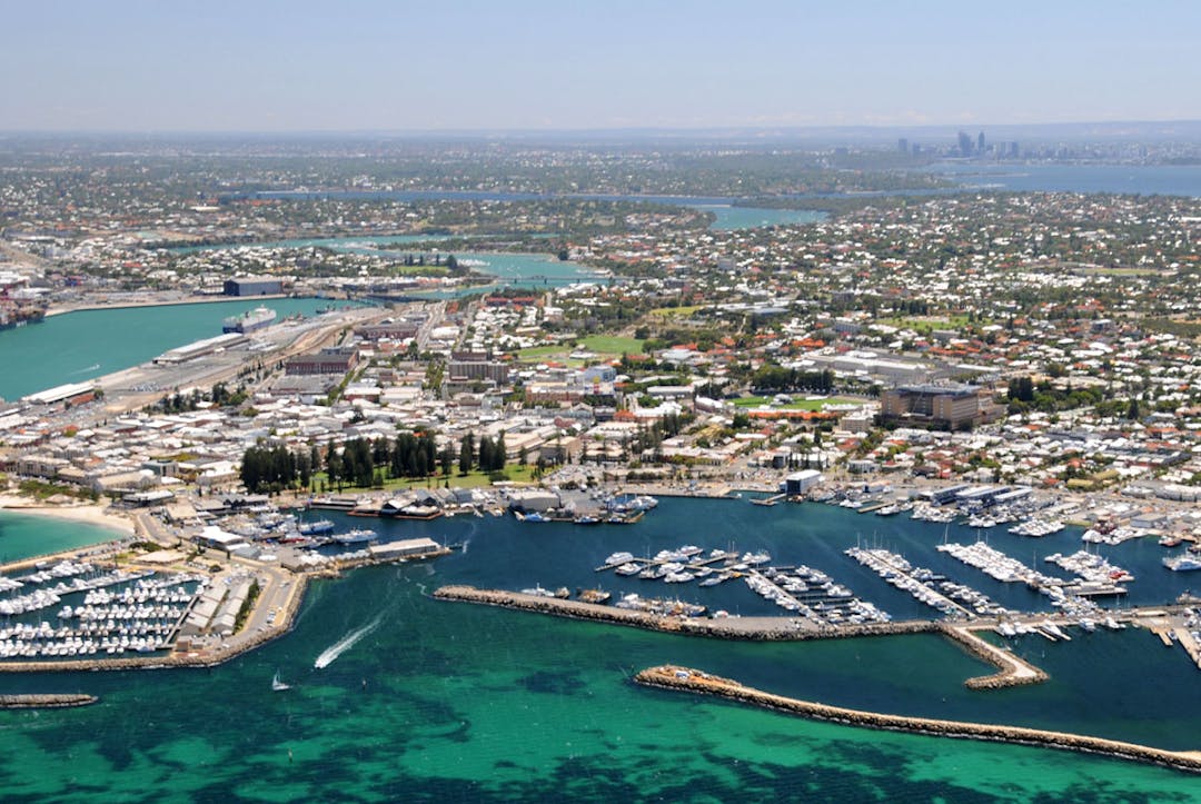

We're proposing minor amendments to the City of Fremantle Local Planning Scheme No. 4 (LPS4) to maintain its currency.


At the Ordinary Council Meeting of 26 June 2019, Council resolved to begin the process of amending large parts of the City of Fremantle Local Planning Scheme No. 4. The proposed changes fall into four broad categories:


1. Changes to reflect State Planning Policy 7.3

Updates to amend references to the Residential Design Codes (R-Codes) in order to reflect changes introduced via State Planning Policy 7.3 – Residential Design Codes Volume 2 – Apartments (Design WA).


2. Administrative fixes

Administrative fixes to correct minor errors and reflect current legislation.


3. Minor changes to amend some land use permissibility

  • Adding land use permissibility for Ancillary dwellings, Single bedroom dwellings, and Aged Care dwellings.
  • Changing land use permissibility of a Fast Food Outlet within the City Centre from a ‘P’ (Permitted) to a ‘D’ (Discretionary) use.
  • Adding additional uses for Nos. 42-52 Paget Street to reflect the historical uses of the existing buildings.


4. Minor scheme map changes to align with changes to the region scheme and correct unzoned land and misaligned zones as listed below:

  • Nos. 100, 106, and 108 (Lots 50-52) Stirling Highway, North Fremantle: Extend Mixed use zone to street boundary.
  • Nos. 111A (Lot 82), 111F (Lot 701), 111 (Lot 172) Stirling Highway, North Fremantle: Extend Mixed Use zone to street boundary.
  • No. 101 (Lot 511) Stirling Highway, North Fremantle: Zone Mixed Use.
  • Nos. 1-27/78-80 (Lot 700), No. 2 (Lot 4 SSP 60487), and No. 72 (Lot 3) Stirling Highway, and No. 1A (Lot 2 SSP 60487) White Street, North Fremantle: Change from Development zone to Mixed Use zone with a density of R35 and remove from Development Area DA15.
  • No. 25 (Lot 1001) Amherst Street, Fremantle: Change from Public Utilities Reserve to Development zone and include as part of Development Area DA4.
  • Sallentina Ridge Public Open Space Reserve 48211, No. 11-23 Moran Court, Beaconsfield: Change from Residential zone to Open Space Reserve.
  • Minim Cove road reserves: Change all land within road reservations from Residential to unzoned.
  • Reserve 2 (Lot 8002) Tyrone Street, North Fremantle: Align Parks and Reserve to cadastral boundaries
  • No. 4 (Lot 218) Tyrone Street, North Fremantle: Remove Parks and Reserve reservation from lot and make entirety of lot Residential R25.
  • Align R20 density to follow the lot boundaries of No. 15 (Lot 8 SSP 45668) and No. 15A (Lot 5 SSP 45668) Simper Crescent, White Gum Valley.

To view the proposed scheme map changes click here or view the document library.


To read the Council minutes with full details of the proposed changes click here or visit the document library. Submissions close 5.00pm Thursday 24 October 2019.


Consultation has concluded
  • Changes adopted by Council

    Share Changes adopted by Council on Facebook Share Changes adopted by Council on Twitter Share Changes adopted by Council on Linkedin Email Changes adopted by Council link

    Council adopted the amendments at the Ordinary Council Meeting on 27 November 2019.

    You can view the minutes with full details of the adopted changes by clicking here, or visit: www.fremantle.wa.gov.au/council/agendas-and-minutes

    This will be referred to the Western Australian Planning Commission with a request that the Minister for Planning grant it final approval.