FAQ
Separation of background information and reports (e.g. benefits of cycling, cordon count results and research) from the action plan component of the document, to increase clarity. Amalgamation of the first approach of ‘everyone to have access to a bike’ with ‘soft infrastructure’ (promotion and education programs) to clarify that the intent is not to purchase bikes for people but to facilitate, encourage and promote bike share and hire programs. The target to double commuter riding remains.
Inclusion of a bike route network hierarchy, incorporating (as an overlay) the Department of Transport’s long term network route plan (to align with state government grant opportunities and anticipated future infrastructure).
Updated rider statistics.
Updated infrastructure project and program schedule and route improvement opportunities (5 years).
Monitoring and review requirements.
The Bike Plan includes infrastructure projects currently in the pipeline and their status as well as a staged planning and design process for the routes under the City’s control (with a rationale as to the timing of each route design).
What is the Bike Plan?
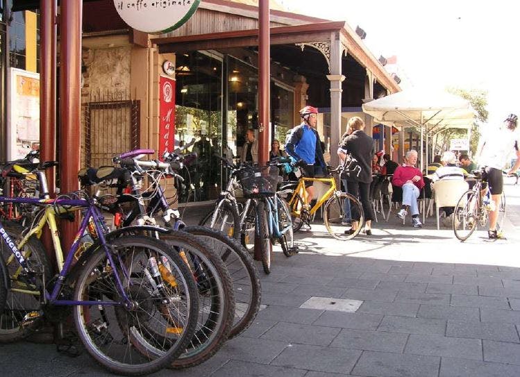
The Bike Plan is a Council endorsed document that guides the planning and programming for 'hard bike infrastructure' (e.g. bike lanes, off road paths, signage, bike parking) as well as 'soft infrastructure (e.g. bike education and promotion programs). The current Bike Plan has a third element to get everyone to have access to a bike - where the City will encourage bike hire and bike sharing. The Bike Plan projects and programs are considered and planned annually through the budget and project planning process.
Why are you reviewing the Bike Plan?
The current Bike Plan set a 5 year timeframe to implement a range of bike infrastructure and programs - ending this year. It also set a target to double the number of residents riding to work (from Census data) from 2.9% to 5.8% and used rider survey counts in the city centre.
The review is required to:
Find out if we met those targets (2016 Census data has resident travel to work at 3.1% - not doubled but improving).
Identify gaps in the network and further infrastructure opportunities.
Find our if travel behaviour has changed and barriers to riding (via consultation) and where these can be improved.
Identify hard and soft bike infrastructure project opportunities to plan for and budget for the next few years (timeframe for a new Bike Plan implementation is still under discussion).
To be eligible for state government bike improvement grants (e.g. the WA Perth Bike Network and Safe Active Streets programs) there needs to be a Council endorsed Bike Plan
What has been done since the Bike Plan was adopted?
Since 2013, the City has -
Installed 2.3km of on road bike lanes.
Installed 1km of off road paths including the new North Fremantle link from Queen Victoria Street to Tydeman Road.
Upgraded 6 signalised intersections to include Bike head start facilities creating vital continuous links on major roads.
Rolled out Bicycle Awareness Zones (BAZ) on over 6km of local and city centre roads.
Upgraded over 2km of path along popular coastal routes.
Rolled out green bike lane treatment at intersections on Lefroy Road, Winterfold Road, South Terrace and Marine Terrace.
Installed over 160 bike parking bays and facilities with the city centre and suburban areas.
Installed 2 new bike data collection sites.
Participated in and supported annual Bike Week events.
Joined the Department of Transport's Your Move Program.
What are the principles and targets of the current Bike Plan?
The City's Local Bicycle Plan 2014-2018 (Bike Plan) is nearing the end of its lifespan and is under review. The Bike Plan is the City’splan to realise our vision of making Fremantle a bike friendly city.
The Bike Plan sets 3 principles as an approach to providing safe, well connected bike network:
1. Everyone with access to a bike
2. Providing "hard infrastructure" - a well connected safe and secure cycling infrastructure
3. Providing "soft infrastructure" - education and promotional programs
The Bike Plan sets a target to double the rate of people riding to work - from 2.9% (2011 Census) to double at 5.8% by this year.
How are we going? We haven't doubled the rate yet but are getting there! The 2016 Census reports an increase to 3.1% of people cycling to work. We will also undertake bike counts in the city centre and analyse annual bike count data to capture other riders.
Why can't we just install bike lanes everywhere?
The City has to work within design constraints (and opportunities) such as road reserve width, private and public property, design standards (e.g. Austroads) and balance pedestrian and other vehicle traffic needs.
The City also works with Main Roads WA who approve changes to the road network/design (e.g. signalised intersections, certain lane marking, signage) who also control some of the main roads such as sections of South Street, Canning Highway, Stirling Highway.
What is different in the new Bike Plan, compared to the previous one?
The draft new Bike Plan has 5 differences: